Map of Mauritania with regions and capitals
Mauritania is a country in northwest Africa, on the Atlantic coast. It borders Western Sahara to the north and northwest, Algeria to the northeast, Mali to the east and south, and Senegal to the southwest along the Senegal River. The political map shows its 13 regions, the capital, Nouakchott, and major cities.

- Capital
- Nouakchott
- Population
- 4.7 million (2022)
- Area
- 1,030,700 km² (397,955 sq mi)
- Population density
- 5 per km² (12 per sq mi)
- Official languages
- Arabic and French
- Currency
- Mauritanian ouguiya
- Demonym
- Mauritanian
- Regions
- 13
- Highest point
- Kediet ej Jill (915 m (3,002 ft))
- Calling code
- +222
- Internet domain
- .mr
Where is Mauritania?
Mauritania is a country in northwest Africa, on the Atlantic coast. It borders Western Sahara to the north and northwest, Algeria to the northeast, Mali to the east and south, and Senegal to the southwest along the Senegal River.
Neighboring countries: Algeria, Mali, Western Sahara, Senegal.

Regions of Mauritania
The map shows Mauritania's 13 regions (wilayas), such as Adrar, Trarza and Hodh ech Chargui, with Nouakchott, the capital, shown as a single region. The regions are further divided into departments called moughataas.
| Region | Area |
|---|---|
| Adrar | 222,956 km² (86,084 sq mi) |
| Assaba | 35,902 km² (13,862 sq mi) |
| Brakna | 33,200 km² (12,819 sq mi) |
| Dakhlet Nouadhibou | 16,947 km² (6,543 sq mi) |
| Gorgol | 13,685 km² (5,284 sq mi) |
| Guidimaka | 10,489 km² (4,050 sq mi) |
| Hodh ech Chargui | 185,940 km² (71,792 sq mi) |
| Hodh el Gharbi | 50,301 km² (19,421 sq mi) |
| Inchiri | 44,771 km² (17,286 sq mi) |
| Nouakchott | 1,498 km² (578 sq mi) |
| Tagant | 95,245 km² (36,774 sq mi) |
| Tiris Zemmour | 258,103 km² (99,654 sq mi) |
| Trarza | 68,863 km² (26,588 sq mi) |
Blank and coloring maps of Mauritania
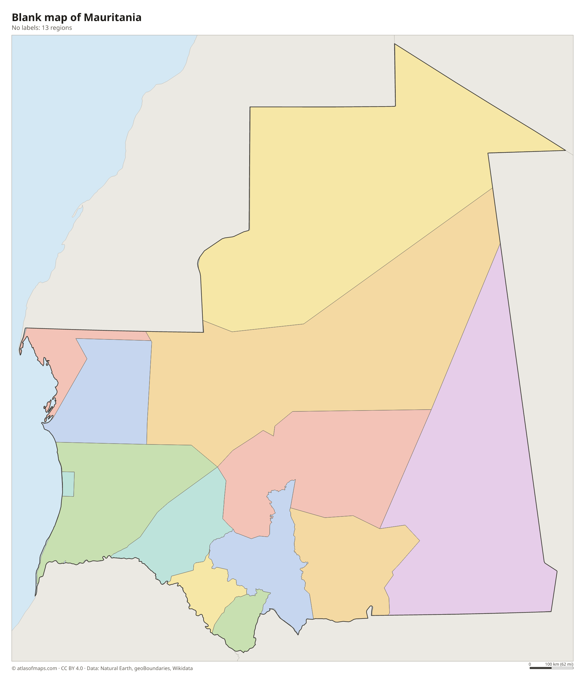
Blank map of Mauritania

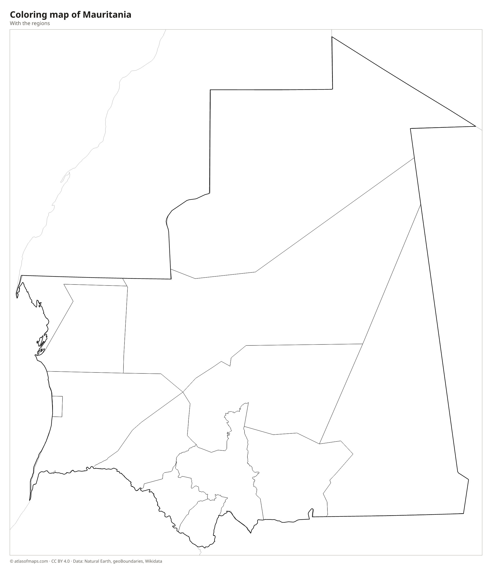
Coloring map of Mauritania

Geography of Mauritania
Mauritania covers 1,030,700 km² (397,955 sq mi), and most of it lies in the Sahara. The land is mainly low plateaus, rocky plains and long ridges of sand dunes, broken by sandstone uplands such as the Adrar and Tagant plateaus. In the Adrar region lies the Richat Structure, a huge circular landform known as the Eye of the Sahara that astronauts use as a landmark. The highest point, Kediet ej Jill, rises to 915 m (3,002 ft) near Zouérat and is rich in iron ore.
The Senegal River in the far south is the only permanent river and supports farming in a narrow fertile strip along its banks. Farther north, the dry Sahel gives way to true desert, where rain is rare and oases with date palms are scattered across the land. The long Atlantic coast is mostly flat and sandy; Banc d'Arguin National Park protects shallow waters, islands and mudflats that attract huge numbers of migrating birds. Cool ocean currents keep the coast milder than the very hot interior.
Fun facts
- Iron ore trains more than 2 km (1.2 mi) long, among the longest in the world, run from the mines near Zouérat to the port of Nouadhibou.
- The Richat Structure is about 40 km (25 mi) across, so it is easiest to see as a whole from space.
- Chinguetti, an old desert town in the Adrar region, is famous for its libraries of ancient manuscripts.
Flag of Mauritania
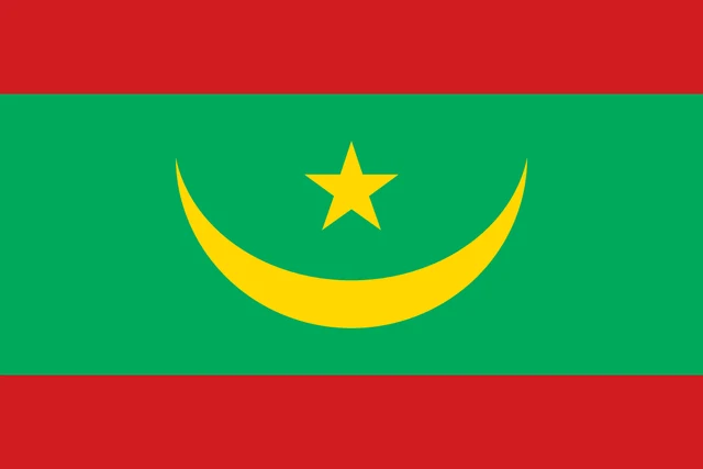
The flag of Mauritania is green with a gold crescent moon and a gold five-pointed star in the center, the star placed above the crescent's upturned horns. Narrow red horizontal stripes run along the top and bottom edges of the flag. The flag has a 2:3 ratio.
Countries bordering Mauritania
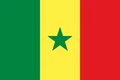
Frequently asked questions
What countries border Mauritania?
Mauritania borders Algeria, Mali and Senegal, as well as Western Sahara, a territory whose status is disputed. Its western side faces the Atlantic Ocean.
How many regions does Mauritania have?
The map shows 13 regions (wilayas) for Mauritania, with the capital, Nouakchott, as one of them. Each region is split into smaller departments.
What is the capital of Mauritania?
Nouakchott, on the Atlantic coast, is the capital and largest city. It was a small village until the late 1950s, when it was chosen as the capital ahead of independence in 1960.
What language is spoken in Mauritania?
The official languages are Arabic and French.
Can I print the map of Mauritania?
Yes. Every map on this page can be downloaded for free as PNG or PDF (US Letter) and printed, including the blank map and the coloring map. Please credit the source (Atlas of Maps, CC BY 4.0).
Use this map
You can download, print and share this map for free, in class, in school projects, in presentations and on websites, as long as you credit the source: Map of Mauritania · Atlas of Maps (atlasofmaps.com), license CC BY 4.0.
See also: Map of Africa · World map