Map of Kosovo with municipalities and capitals
Kosovo is a landlocked country in southeastern Europe, in the central Balkans. It borders Serbia to the north and east, North Macedonia to the southeast, Albania to the southwest and Montenegro to the west. The political map shows its 30 municipalities, the capital, Pristina, and major cities.
Declared independence from Serbia in 2008. Recognized by the United States, the United Kingdom and about 100 other countries; Serbia, Russia, China, Spain and others do not recognize it.

- Capital
- Pristina
- Population
- 1.6 million (2024)
- Area
- 10,909 km² (4,212 sq mi)
- Population density
- 145 per km² (377 per sq mi)
- Official languages
- Albanian and Serbian
- Currency
- euro
- Demonym
- Kosovar
- Municipalities
- 30
- Highest point
- Gjeravica (2,656 m (8,714 ft))
- Calling code
- +383
Where is Kosovo?
Kosovo is a landlocked country in southeastern Europe, in the central Balkans. It borders Serbia to the north and east, North Macedonia to the southeast, Albania to the southwest and Montenegro to the west.
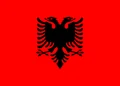
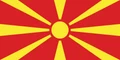
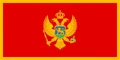
Neighboring countries: Albania, North Macedonia, Montenegro, Serbia.

Municipalities of Kosovo and their capitals
Kosovo's main level of local government is the municipality, and municipalities are grouped into larger districts named after cities such as Pristina, Prizren, Peja, Gjakova, Mitrovica, Gjilan and Ferizaj. The municipal boundaries on the map follow an older layout and may not match today's municipalities.
| Municipality | Capital | Population | Area |
|---|---|---|---|
| Dečani | — | — | — |
| Dragaš | — | — | — |
| Gjakova | — | — | — |
| Glogovac | — | — | — |
| Gnjilane | — | — | — |
| Istok | — | — | — |
| Kačanik | — | — | — |
| Klina | — | — | — |
| Kosovo and Metohija | Pristina | 1,808,195 | 10,939 km² (4,224 sq mi) |
| Kosovo Polje | — | — | — |
| Kosovo-Pomoravlje | Gjilan | 217,726 | 1,388 km² (536 sq mi) |
| Kosovska Mitrovica | Mitrovica | 275,904 | 2,054 km² (793 sq mi) |
| Leposavić | — | — | — |
| Lipljan | — | — | — |
| Mališevo | — | — | — |
| Novo Brdo | — | — | — |
| Obiliq | — | — | — |
| Orahovac | — | — | — |
| Peja | — | — | — |
| Plužine | Plužine | 2,777 | 854 km² (330 sq mi) |
| Podujevo/Podujeva | — | — | — |
| Skenderaj/Srbica | — | — | — |
| Štimlje | — | — | — |
| Štrpce | — | — | — |
| Suva Reka | — | — | — |
| Uroševac/ferizaj | — | — | — |
| Viti/Vitina | — | — | — |
| Vučitrn | — | — | — |
| Zubin Potok | — | — | — |
| Zvečan | — | — | — |
Population from Wikidata (latest figure available for each municipality).
Blank and coloring maps of Kosovo
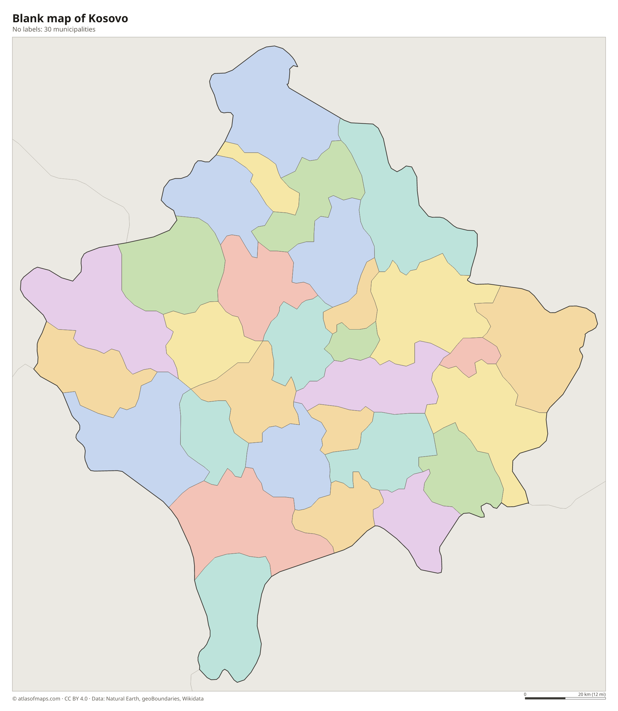
Blank map of Kosovo

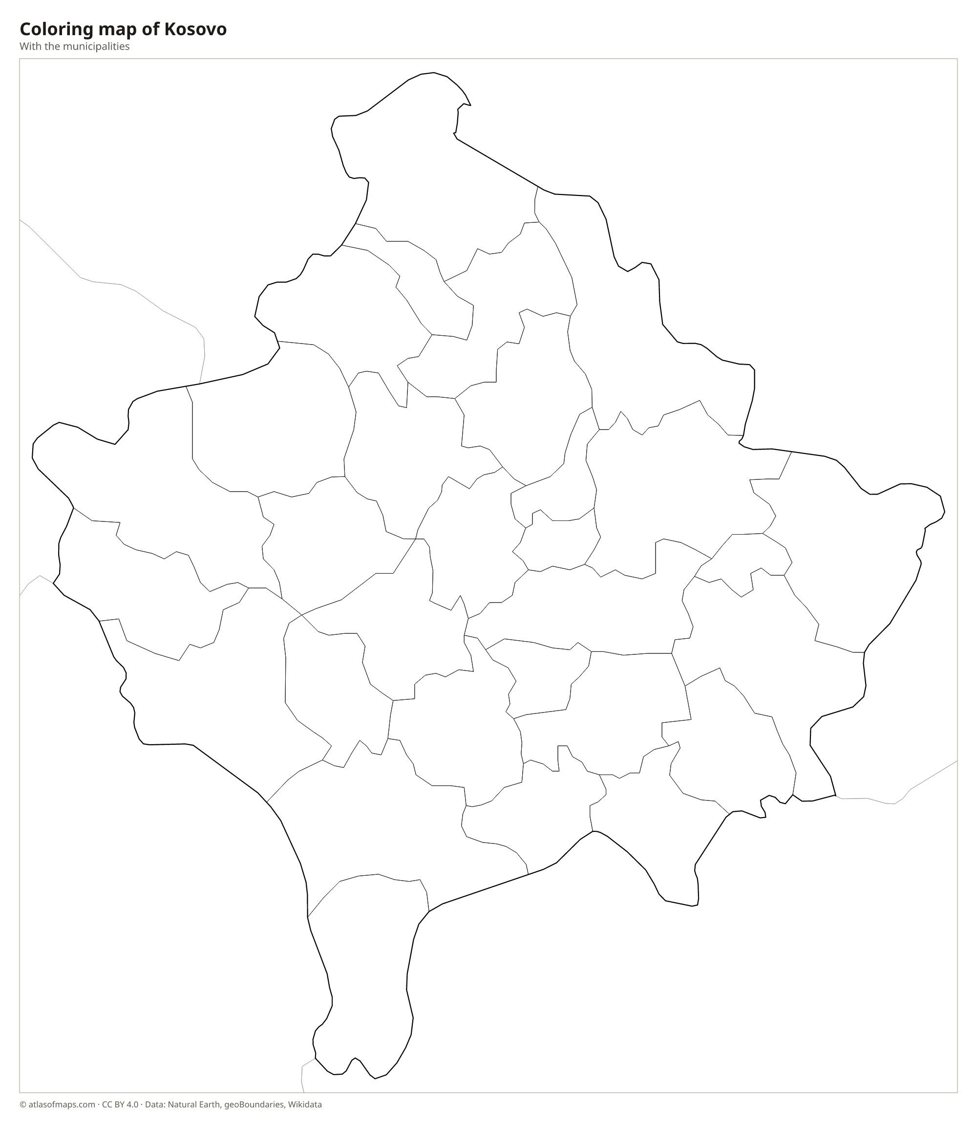
Coloring map of Kosovo

Geography of Kosovo
Kosovo covers 10,909 km² (4,212 sq mi) and forms a high basin ringed by mountains. Two main plains form its core: the Kosovo plain in the east, around Pristina, and the Dukagjini plain, also called Metohija, in the west. The Accursed Mountains rise along the borders with Albania and Montenegro, and there Gjeravica is the highest point at 2,656 m (8,714 ft). The Šar Mountains line the southern border with North Macedonia, and the Kopaonik range reaches into the north.
Kosovo's rivers drain to three different seas. The White Drin flows southwest through Albania to the Adriatic, the Ibar and the Sitnica flow north toward the Danube and the Black Sea, and the Lepenac runs south into North Macedonia and on to the Aegean. Gazivoda Lake, a large reservoir on the Ibar, lies in the north. The Rugova Gorge near Peja is a deep canyon popular with hikers. The climate is continental, with cold, snowy winters and warm summers, while milder air reaches the southwest from the Adriatic.
Fun facts
- Kosovo's national anthem, called Europe, has no official lyrics.
- Kosovo uses the euro even though it is not a member of the European Union.
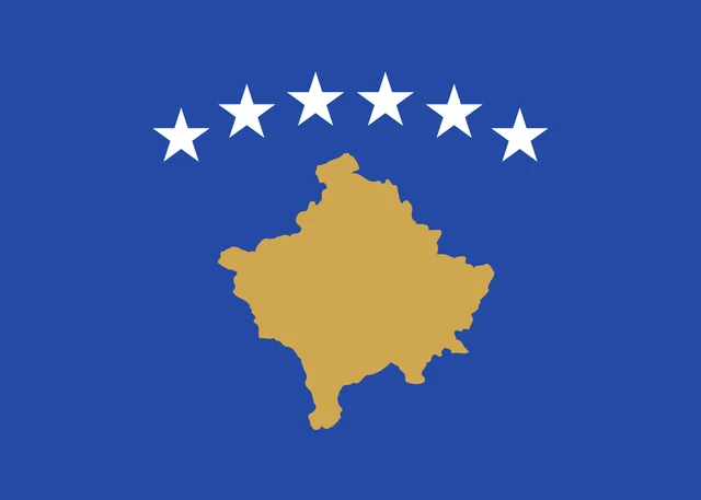
Flag of Kosovo
Kosovo's flag has a blue field with a gold map of Kosovo in the center. Above the map, six white five-pointed stars are arranged in a gentle arc. It is one of only two national flags that show a map of the country, the other being the flag of Cyprus.
Countries bordering Kosovo
Frequently asked questions
Is Kosovo a country?
Kosovo declared independence from Serbia in 2008. It is recognized by the United States, the United Kingdom and about 100 other countries, while Serbia, Russia, China, Spain and others do not recognize it.
What countries border Kosovo?
Kosovo borders four countries: Serbia to the north and east, North Macedonia to the southeast, Albania to the southwest and Montenegro to the west.
What is the capital of Kosovo?
The capital and largest city is Pristina, in the east of the country on the Kosovo plain. Prizren, in the south, is the second-largest city.
How many municipalities does Kosovo have?
Kosovo is divided into 30 municipalities: Dečani, Dragaš, Gjakova, Glogovac, Gnjilane, Istok, Kačanik, Klina, Kosovo and Metohija, Kosovo Polje, Kosovo-Pomoravlje, Kosovska Mitrovica, Leposavić, Lipljan, Mališevo, Novo Brdo, Obiliq, Orahovac, Peja, Plužine, Podujevo/Podujeva, Skenderaj/Srbica, Štimlje, Štrpce, Suva Reka, Uroševac/ferizaj, Viti/Vitina, Vučitrn, Zubin Potok, and Zvečan.
What language is spoken in Kosovo?
The official languages are Albanian and Serbian.
Can I print the map of Kosovo?
Yes. Every map on this page can be downloaded for free as PNG or PDF (US Letter) and printed, including the blank map and the coloring map. Please credit the source (Atlas of Maps, CC BY 4.0).
Use this map
You can download, print and share this map for free, in class, in school projects, in presentations and on websites, as long as you credit the source: Map of Kosovo · Atlas of Maps (atlasofmaps.com), license CC BY 4.0.
See also: Map of Europe · World map