Map of Chile with regions and capitals
Chile is a long, narrow country on the western edge of South America, between the Andes and the Pacific Ocean. It borders Peru to the north, Bolivia to the northeast and Argentina to the east. The political map shows its 16 regions, the capital, Santiago, and major cities.

- Capital
- Santiago
- Population
- 19.5 million (2021)
- Area
- 756,102 km² (291,933 sq mi)
- Population density
- 26 per km² (67 per sq mi)
- Official language
- Spanish
- Currency
- Chilean peso
- Demonym
- Chilean
- Divisions
- 16 regions
- Highest point
- Ojos del Salado (6,893 m (22,615 ft))
- Calling code
- +56
- Internet domain
- .cl
- Official name
- Republic of Chile
Where is Chile?
Chile is a long, narrow country on the western edge of South America, between the Andes and the Pacific Ocean. It borders Peru to the north, Bolivia to the northeast and Argentina to the east.

Regions of Chile and their capitals
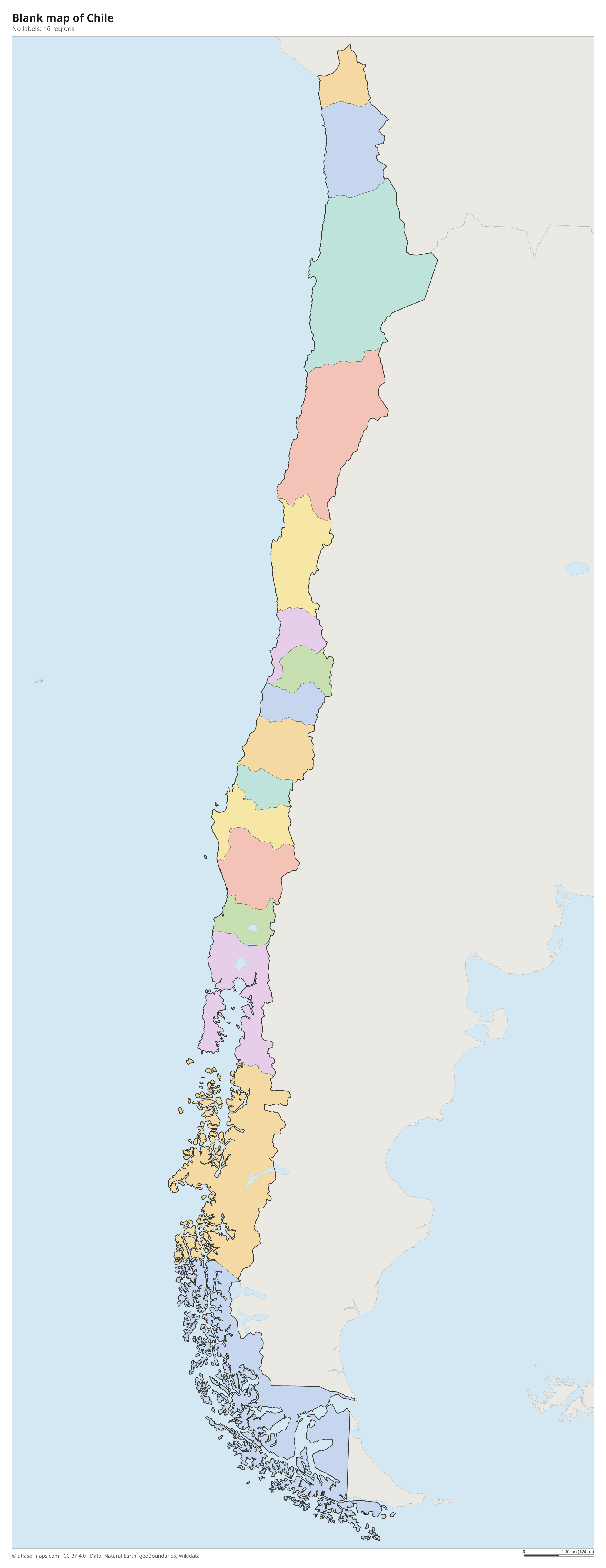
Chile is divided into 16 regions, which follow one another from Arica y Parinacota on the Peruvian border to Magallanes and the Chilean Antarctic in the far south. The capital lies in the Santiago Metropolitan Region, the most populous of them.
| Region | Capital | Population | Area |
|---|---|---|---|
| Antofagasta | Antofagasta | 635,416 | 126,049 km² (48,668 sq mi) |
| Araucanía | Temuco | 1,010,423 | 31,842 km² (12,294 sq mi) |
| Arica y Parinacota | Arica | 244,569 | 16,873 km² (6,515 sq mi) |
| Atacama | Copiapó | 299,180 | 75,176 km² (29,026 sq mi) |
| Aysén | Coyhaique | 100,745 | 108,494 km² (41,890 sq mi) |
| Biobío | Concepción | 1,613,059 | 23,890 km² (9,224 sq mi) |
| Coquimbo | La Serena | 832,864 | 40,580 km² (15,668 sq mi) |
| Los Lagos | Puerto Montt | 890,284 | 48,584 km² (18,758 sq mi) |
| Los Ríos | Valdivia | 398,230 | 18,430 km² (7,116 sq mi) |
| Magellan and the Chilean Antarctic | Punta Arenas | 166,537 | 132,291 km² (51,078 sq mi) |
| Maule | Talca | 1,123,008 | 30,296 km² (11,697 sq mi) |
| Ñuble | Chillán | 512,289 | 13,179 km² (5,088 sq mi) |
| O'Higgins | Rancagua | 987,228 | 16,387 km² (6,327 sq mi) |
| Santiago | Santiago | 7,400,741 | 15,403 km² (5,947 sq mi) |
| Tarapacá | Iquique | 369,806 | 42,226 km² (16,304 sq mi) |
| Valparaíso | Valparaíso | 1,896,053 | 16,396 km² (6,331 sq mi) |
Population from Wikidata (latest figure available for each region).
Blank and coloring maps of Chile
Blank map of Chile

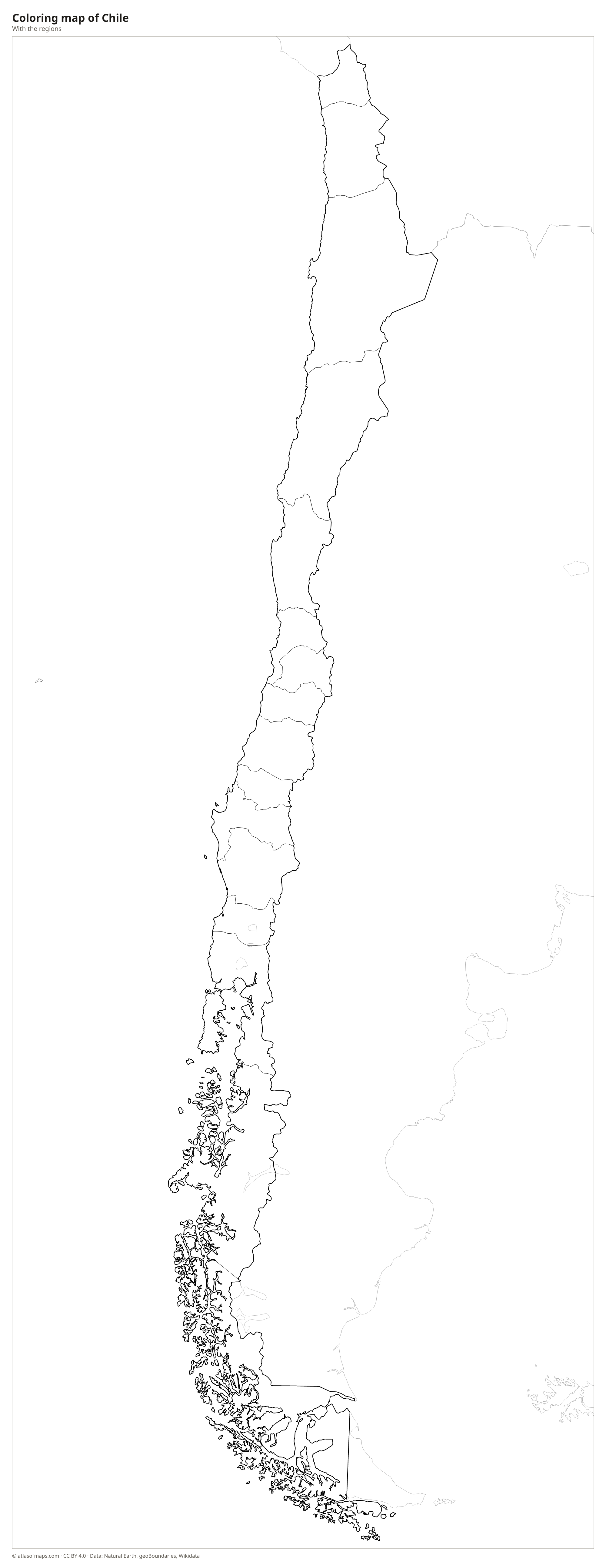
Coloring map of Chile

Geography of Chile
Chile stretches about 4,300 km (2,670 mi) from north to south but is rarely more than 350 km (220 mi) wide. The Andes run along its entire eastern side and include Ojos del Salado, which at 6,893 m (22,615 ft) is the highest volcano on Earth. West of the Andes lies the Central Valley, and a lower Coastal Range runs beside the Pacific. In the far north is the Atacama Desert, while the south breaks up into fjords, channels and islands that end at Tierra del Fuego and Cape Horn.
Because of its length, Chile spans many climate zones: hot desert in the north, a Mediterranean climate around Santiago, temperate rainforest in the Lake District and cold, windy Patagonia in the south, with large ice fields in the southern Andes. Rivers are short and fast, flowing from the Andes to the Pacific; the Loa and the Biobío are among the best known. Chile also governs Easter Island (Rapa Nui) and the Juan Fernández Islands in the Pacific. Altogether the country covers 756,102 km² (291,933 sq mi).
Fun facts
- The Atacama Desert in northern Chile is the driest nonpolar desert in the world.
- Easter Island, famous for its giant moai statues, lies more than 3,500 km (2,170 mi) west of mainland Chile.
- Chile's long border with Argentina follows the crest of the Andes for most of its length.
Flag of Chile
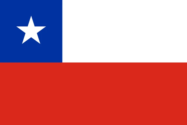
The flag of Chile has two horizontal bands, white on top and red below. In the upper hoist corner, a blue square the same height as the white band holds a single white five-pointed star. The flag is known as La Estrella Solitaria (the Lone Star) and is sometimes confused with the flag of Texas, which uses the same colors.
Countries bordering Chile
Frequently asked questions
What countries border Chile?
Chile borders three countries: Peru to the north, Bolivia to the northeast and Argentina to the east, along a long border in the Andes. The Pacific Ocean forms its entire western coast.
How many regions does Chile have?
Chile has 16 regions. They range from Arica y Parinacota in the far north to Magallanes and the Chilean Antarctic in the south, with Santiago in the Metropolitan Region.
Why is Chile so long and narrow?
Chile occupies the strip of land between the crest of the Andes and the Pacific Ocean. Its borders follow the mountains for about 4,300 km (2,670 mi), while the land between them stays narrow.
What is the capital of Chile?
The capital of Chile is Santiago.
What language is spoken in Chile?
The official language is Spanish.
Can I print the map of Chile?
Yes. Every map on this page can be downloaded for free as PNG or PDF (US Letter) and printed, including the blank map and the coloring map. Please credit the source (Atlas of Maps, CC BY 4.0).
Use this map
You can download, print and share this map for free, in class, in school projects, in presentations and on websites, as long as you credit the source: Map of Chile · Atlas of Maps (atlasofmaps.com), license CC BY 4.0.
See also: Map of South America · Map of Latin America · World map