Map of Mali
Mali is a large landlocked country in West Africa. It borders Algeria to the north, Niger to the east, Burkina Faso and Ivory Coast to the south, Guinea to the southwest, and Senegal and Mauritania to the west. The political map shows its regions, the capital, Bamako, and major cities.

- Capital
- Bamako
- Population
- 22.4 million (2022)
- Area
- 1,240,192 km² (478,841 sq mi)
- Population density
- 18 per km² (47 per sq mi)
- Official languages
- Bambara, Bobo, Bozo, Dogon, Fula, and Hassaniya Arabic
- Currency
- West African CFA franc
- Demonym
- Malian
- Highest point
- Mount Hombori (1,153 m (3,783 ft))
- Calling code
- +223
- Internet domain
- .ml
Where is Mali?
Mali is a large landlocked country in West Africa. It borders Algeria to the north, Niger to the east, Burkina Faso and Ivory Coast to the south, Guinea to the southwest, and Senegal and Mauritania to the west.
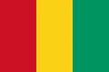
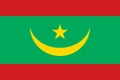
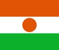
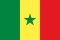
Neighboring countries: Burkina Faso, Ivory Coast, Algeria, Guinea, Mauritania, Niger, Senegal.

Regions of Mali and their capitals
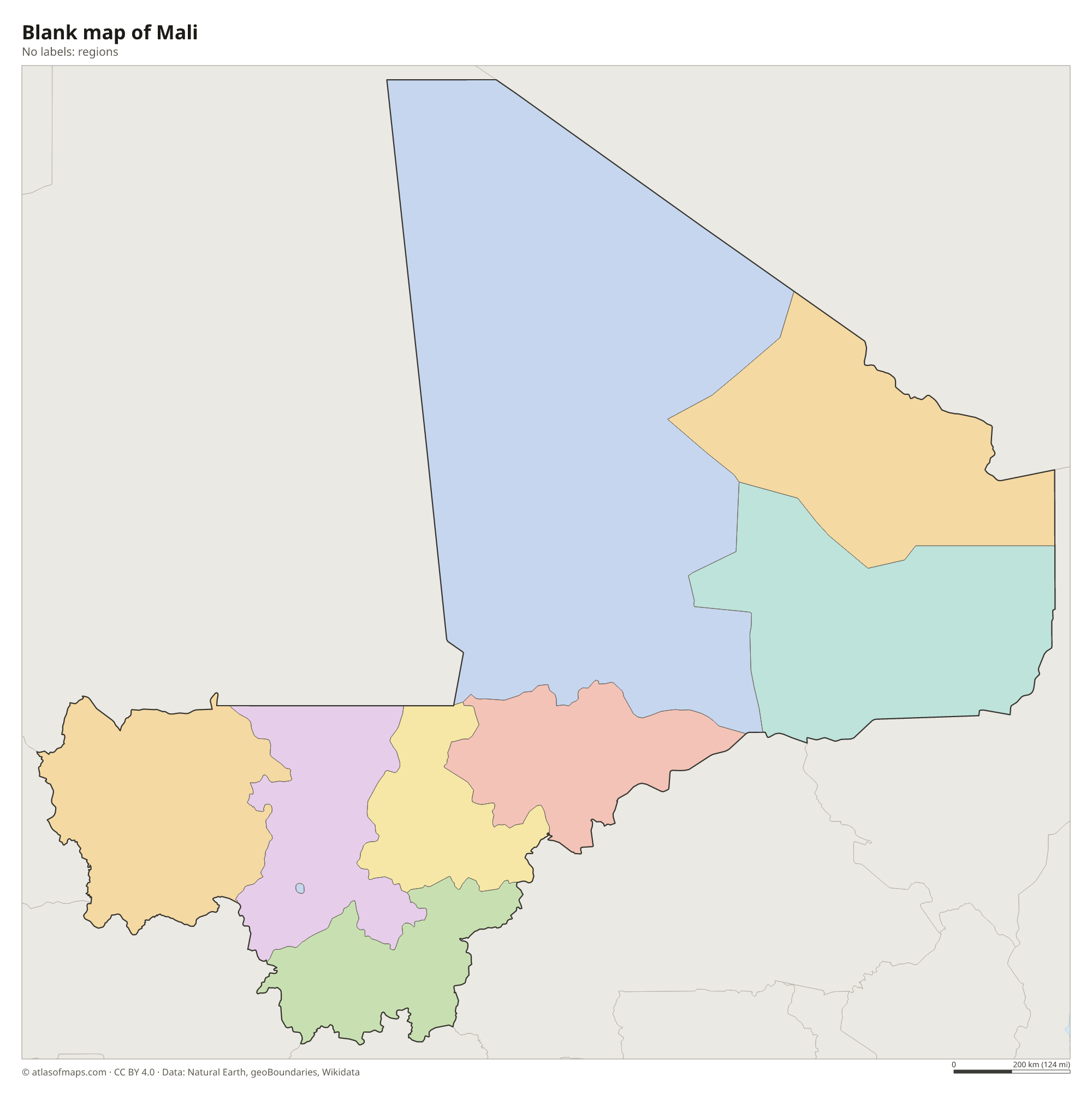
Mali is divided into regions plus the capital district of Bamako, and the map draws them from Natural Earth data. Mali has created new regions in recent reforms, so the borders on the map may not match the current official ones.
The divisions on the map come from Natural Earth and may not reflect the latest territorial reform in Mali.
| Region | Capital | Population | Area |
|---|---|---|---|
| Bamako | Bamako | 4,227,569 | 245 km² (95 sq mi) |
| Gao | Gao | 544,120 | 170,572 km² (65,858 sq mi) |
| Kayes | Kayes | — | 119,743 km² (46,233 sq mi) |
| Kidal | Kidal | 83,192 | 151,450 km² (58,475 sq mi) |
| Koulikoro | Koulikoro | — | 90,120 km² (34,796 sq mi) |
| Mopti | Mopti | 2,037,330 | 79,017 km² (30,509 sq mi) |
| Ségou | Ségou | 2,336,255 | 64,821 km² (25,028 sq mi) |
| Tombouctou | Timbuktu | 681,691 | 56 km² (22 sq mi) |
| Wassoulou | Sikasso | 2,625,919 | 70,280 km² (27,135 sq mi) |
Population from Wikidata (latest figure available for each region).
Blank and coloring maps of Mali
Blank map of Mali

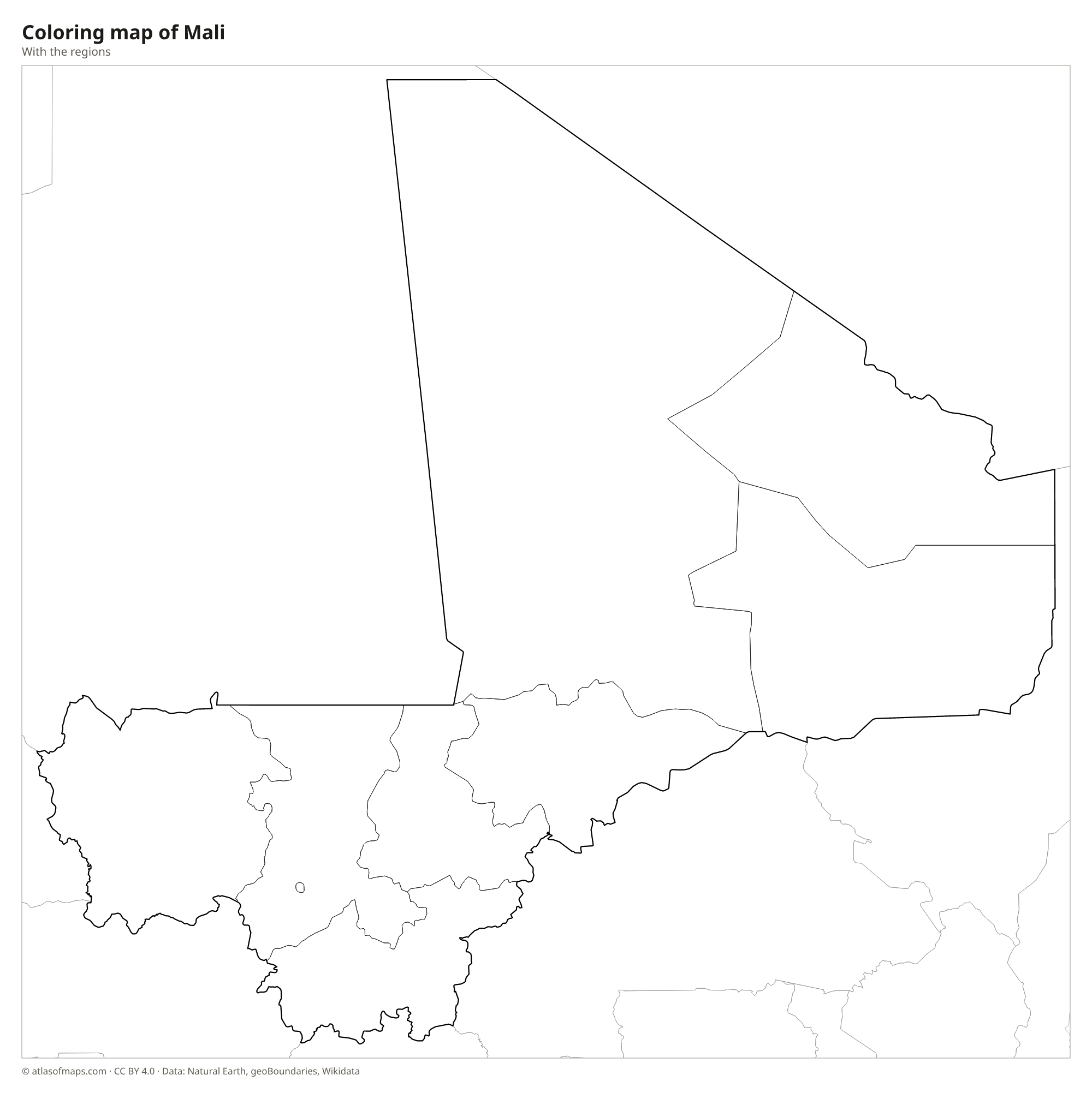
Coloring map of Mali

Geography of Mali
Mali covers 1,240,192 km² (478,841 sq mi) and is mostly flat or gently rolling. The northern half lies in the Sahara, a land of sand seas, rocky plateaus and the Adrar des Ifoghas massif near the Algerian border. The center belongs to the Sahel, a dry belt of grassland and thorn bush, and the south is greener savanna. The highest point, Mount Hombori, reaches 1,153 m (3,783 ft) among sandstone buttes near the town of Hombori, while the Bandiagara Escarpment forms long cliffs in Dogon country.
The Niger River is Mali's lifeline. It flows northeast from Guinea through Bamako, then spreads into the Inner Niger Delta, a vast wetland of channels, lakes and floodplains that swells after each rainy season, before bending east near Timbuktu and turning south into Niger. The upper Senegal River crosses the far west of the country. The climate is hot, with a rainy season in summer that is longest in the south, short in the Sahel and almost absent in the desert north.
Fun facts
- Timbuktu, near the Niger River on the edge of the Sahara, was once a major center of trade and Islamic learning, and its old mosques are a UNESCO World Heritage Site.
- The Great Mosque of Djenné is the largest mud-brick building in the world.
- Mali is the eighth-largest country in Africa by area.
Flag of Mali
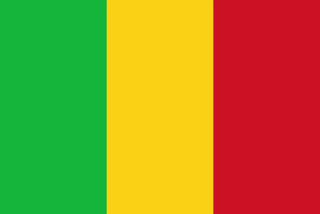
The flag of Mali is a vertical tricolor of three equal bands: green at the hoist, yellow in the middle and red at the fly. It carries no emblem and has a 2:3 ratio. The design resembles the flag of neighboring Guinea, which uses the same three colors in the reverse order.
Countries bordering Mali
Frequently asked questions
What countries border Mali?
Mali borders seven countries: Algeria, Niger, Burkina Faso, Ivory Coast, Guinea, Senegal and Mauritania. It has no coastline, so it is landlocked.
Is Mali in the Sahara Desert?
Partly. The northern half of Mali lies in the Sahara, the center is in the semi-arid Sahel, and the south has wetter savanna, where most Malians live along the Niger River.
What is the capital of Mali?
Bamako is the capital and largest city of Mali. It sits on the Niger River in the southwest of the country, not far from the border with Guinea.
What language is spoken in Mali?
The official languages are Bambara, Bobo, Bozo, Dogon, Fula, and Hassaniya Arabic.
Can I print the map of Mali?
Yes. Every map on this page can be downloaded for free as PNG or PDF (US Letter) and printed, including the blank map and the coloring map. Please credit the source (Atlas of Maps, CC BY 4.0).
Use this map
You can download, print and share this map for free, in class, in school projects, in presentations and on websites, as long as you credit the source: Map of Mali · Atlas of Maps (atlasofmaps.com), license CC BY 4.0.
See also: Map of Africa · World map