Map of Chad with provinces and capitals
Chad is a landlocked country in north-central Africa, stretching from the Sahara Desert in the north to tropical savanna in the south. It borders Libya, Sudan, the Central African Republic, Cameroon, Nigeria and Niger. The political map shows its 23 provinces, the capital, N'Djamena, and major cities.

- Capital
- N'Djamena
- Population
- 19.3 million (2023)
- Area
- 1,284,000 km² (495,755 sq mi)
- Population density
- 15 per km² (39 per sq mi)
- Official languages
- French and Arabic
- Currency
- Central African CFA franc
- Demonym
- Chadian
- Provinces
- 23
- Highest point
- Emi Koussi (3,445 m (11,302 ft))
- Calling code
- +235
- Internet domain
- .td
- Official name
- Republic of Chad
Where is Chad?
Chad is a landlocked country in north-central Africa, stretching from the Sahara Desert in the north to tropical savanna in the south. It borders Libya, Sudan, the Central African Republic, Cameroon, Nigeria and Niger.
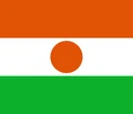
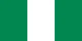
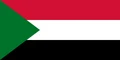
Neighboring countries: Central African Republic, Cameroon, Libya, Niger, Nigeria, Sudan.

Provinces of Chad
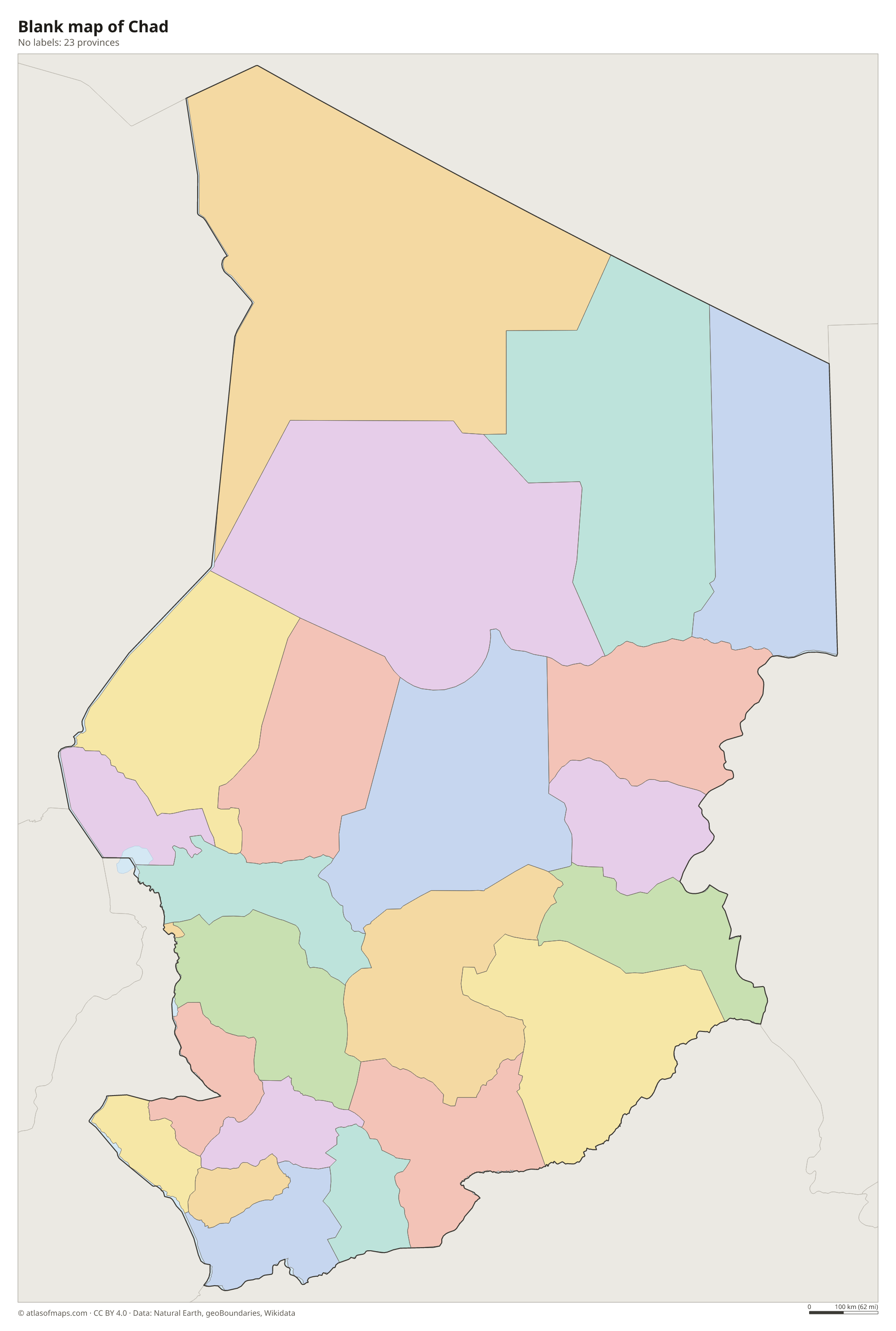
Chad is divided into 23 provinces, which you can see on the map. The capital, N'Djamena, forms a province of its own, while the large northern provinces of Borkou, Ennedi-Est, Ennedi-Ouest and Tibesti cover most of the Saharan part of the country.
| Province | Area |
|---|---|
| Bahr el Gazel | 56,526 km² (21,825 sq mi) |
| Batha | 90,750 km² (35,039 sq mi) |
| Borkou | 151,025 km² (58,311 sq mi) |
| Chari-Baguirmi | 46,292 km² (17,873 sq mi) |
| Ennedi-Est | 81,176 km² (31,342 sq mi) |
| Ennedi-Ouest | 122,544 km² (47,315 sq mi) |
| Guéra | 61,278 km² (23,660 sq mi) |
| Hadjer-Lamis | 30,440 km² (11,753 sq mi) |
| Kanem | 67,920 km² (26,224 sq mi) |
| Lac | 19,859 km² (7,668 sq mi) |
| Logone Occidental | 9,140 km² (3,529 sq mi) |
| Logone Oriental | 23,162 km² (8,943 sq mi) |
| Mandoul | 17,351 km² (6,699 sq mi) |
| Mayo-Kebbi Est | 18,029 km² (6,961 sq mi) |
| Mayo-Kebbi Ouest | 12,501 km² (4,827 sq mi) |
| Moyen-Chari | 41,569 km² (16,050 sq mi) |
| N'Djamena | 381 km² (147 sq mi) |
| Ouaddaï | 30,021 km² (11,591 sq mi) |
| Salamat | 68,084 km² (26,287 sq mi) |
| Sila | 35,970 km² (13,888 sq mi) |
| Tandjilé | 17,569 km² (6,783 sq mi) |
| Tibesti | 210,785 km² (81,385 sq mi) |
| Wadi Fira | 53,803 km² (20,773 sq mi) |
Blank and coloring maps of Chad
Blank map of Chad

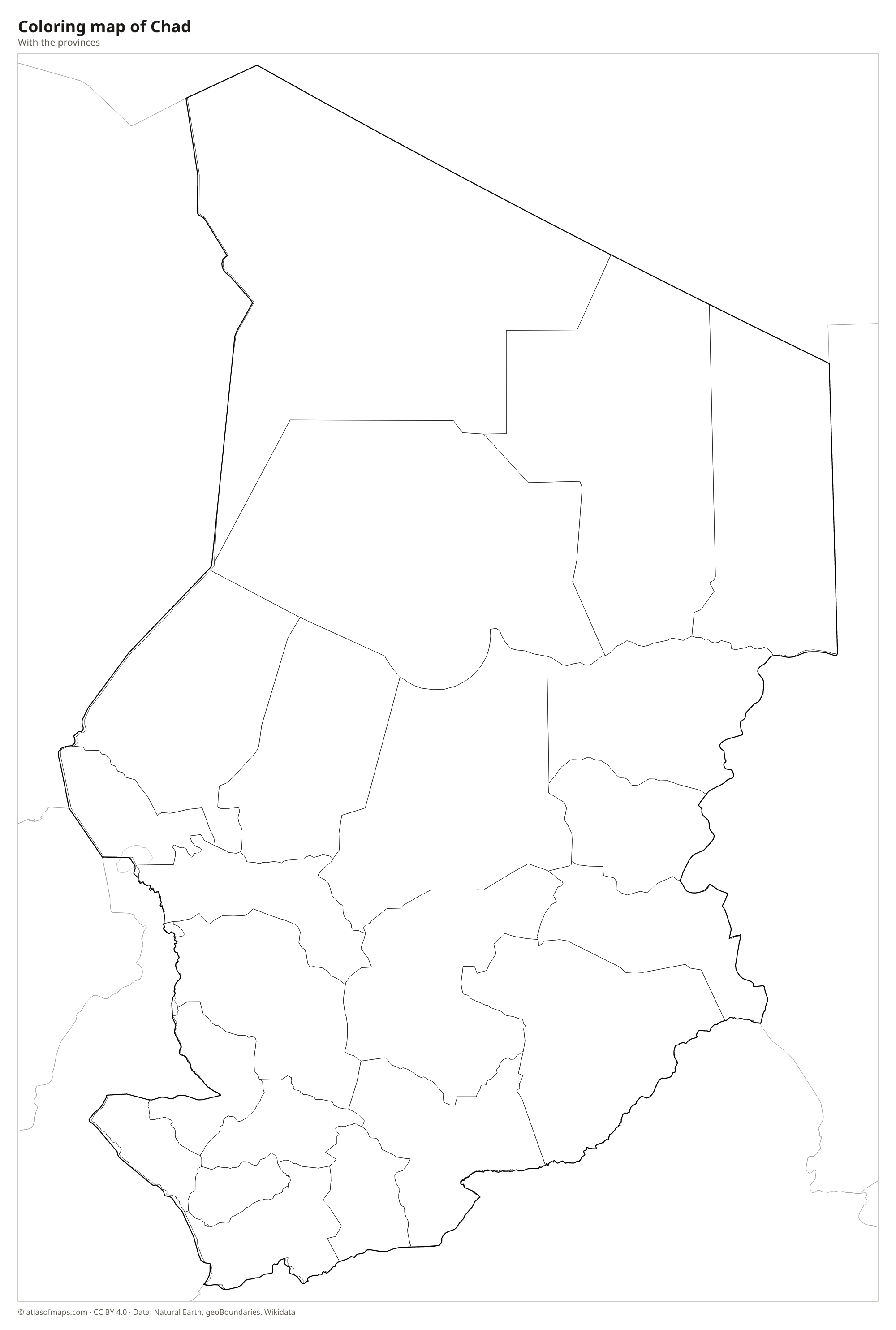
Coloring map of Chad

Geography of Chad
With 1,284,000 km² (495,755 sq mi), Chad is the fifth-largest country in Africa, and much of it is a vast, shallow basin. The north lies in the Sahara and is broken by the volcanic Tibesti Mountains, where Emi Koussi reaches 3,445 m (11,302 ft), the highest point in the Sahara. To the east rises the sandstone Ennedi Plateau, known for its natural arches and rock art. Between these uplands lies the Bodélé Depression, a dry lakebed that is one of the world's biggest sources of windblown dust.
Farther south, the desert gives way to the Sahel, a belt of dry grassland, and then to wetter savanna near the borders with Cameroon and the Central African Republic. The Chari and Logone rivers flow north through this region, meet at N'Djamena and empty into Lake Chad on the western border. Lake Chad, shared with Niger, Nigeria and Cameroon, is very shallow and has shrunk dramatically since the 1960s. Most Chadians live in the south and center, where rainfall allows farming and herding.
Fun facts
- Chad takes its name from Lake Chad, the large but shrinking lake on its western border.
- The Ennedi Massif in northeastern Chad is a UNESCO World Heritage Site known for its rock arches and thousands of ancient rock paintings.
- Dust blown from the Bodélé Depression crosses the Atlantic Ocean, and some of it helps fertilize the Amazon rainforest.
Flag of Chad
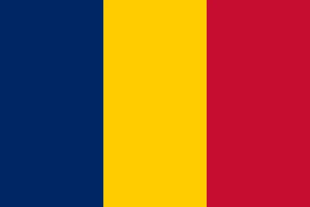
The flag of Chad has three vertical stripes of equal width in blue, yellow and red, with blue at the hoist side. It carries no emblem or inscription. The design is almost identical to the flag of Romania: the two differ only in the exact shade of blue, which is slightly darker on Chad's flag.
Countries bordering Chad
Frequently asked questions
What countries border Chad?
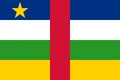
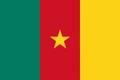
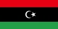
Chad borders six countries: Libya to the north, Sudan to the east, the Central African Republic to the south, and Cameroon, Nigeria and Niger to the west. It has no coastline.
How many provinces does Chad have?
Chad has 23 provinces. The capital city, N'Djamena, is one of them, and the provinces of Tibesti, Borkou, Ennedi-Est and Ennedi-Ouest cover the desert north.
Is Chad in the Sahara Desert?
The northern part of Chad lies in the Sahara, including the Tibesti Mountains and the Ennedi Plateau. The center belongs to the Sahel, and the far south is covered by tropical savanna.
What is the capital of Chad?
The capital of Chad is N'Djamena.
What language is spoken in Chad?
The official languages are French and Arabic.
Can I print the map of Chad?
Yes. Every map on this page can be downloaded for free as PNG or PDF (US Letter) and printed, including the blank map and the coloring map. Please credit the source (Atlas of Maps, CC BY 4.0).
Use this map
You can download, print and share this map for free, in class, in school projects, in presentations and on websites, as long as you credit the source: Map of Chad · Atlas of Maps (atlasofmaps.com), license CC BY 4.0.
See also: Map of Africa · World map