Map of Uganda with regions and capitals
Uganda is a landlocked country in East Africa that lies on the equator. It borders South Sudan to the north, Kenya to the east, Tanzania and Rwanda to the south, and the Democratic Republic of the Congo to the west, and shares Lake Victoria with Kenya and Tanzania. The political map shows its 4 regions, the capital, Kampala, and major cities.

- Capital
- Kampala
- Population
- 47.1 million (2021)
- Area
- 241,038 km² (93,065 sq mi)
- Population density
- 196 per km² (506 per sq mi)
- Official languages
- English and Swahili
- Currency
- Ugandan shilling
- Demonym
- Ugandan
- Regions
- 4
- Highest point
- Mount Stanley (5,109 m (16,762 ft))
- Calling code
- +256
- Internet domain
- .ug
Where is Uganda?
Uganda is a landlocked country in East Africa that lies on the equator. It borders South Sudan to the north, Kenya to the east, Tanzania and Rwanda to the south, and the Democratic Republic of the Congo to the west, and shares Lake Victoria with Kenya and Tanzania.
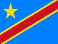
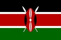
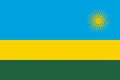
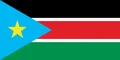
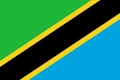
Neighboring countries: Democratic Republic of the Congo, Kenya, Rwanda, South Sudan, Tanzania.

Regions of Uganda and their capitals
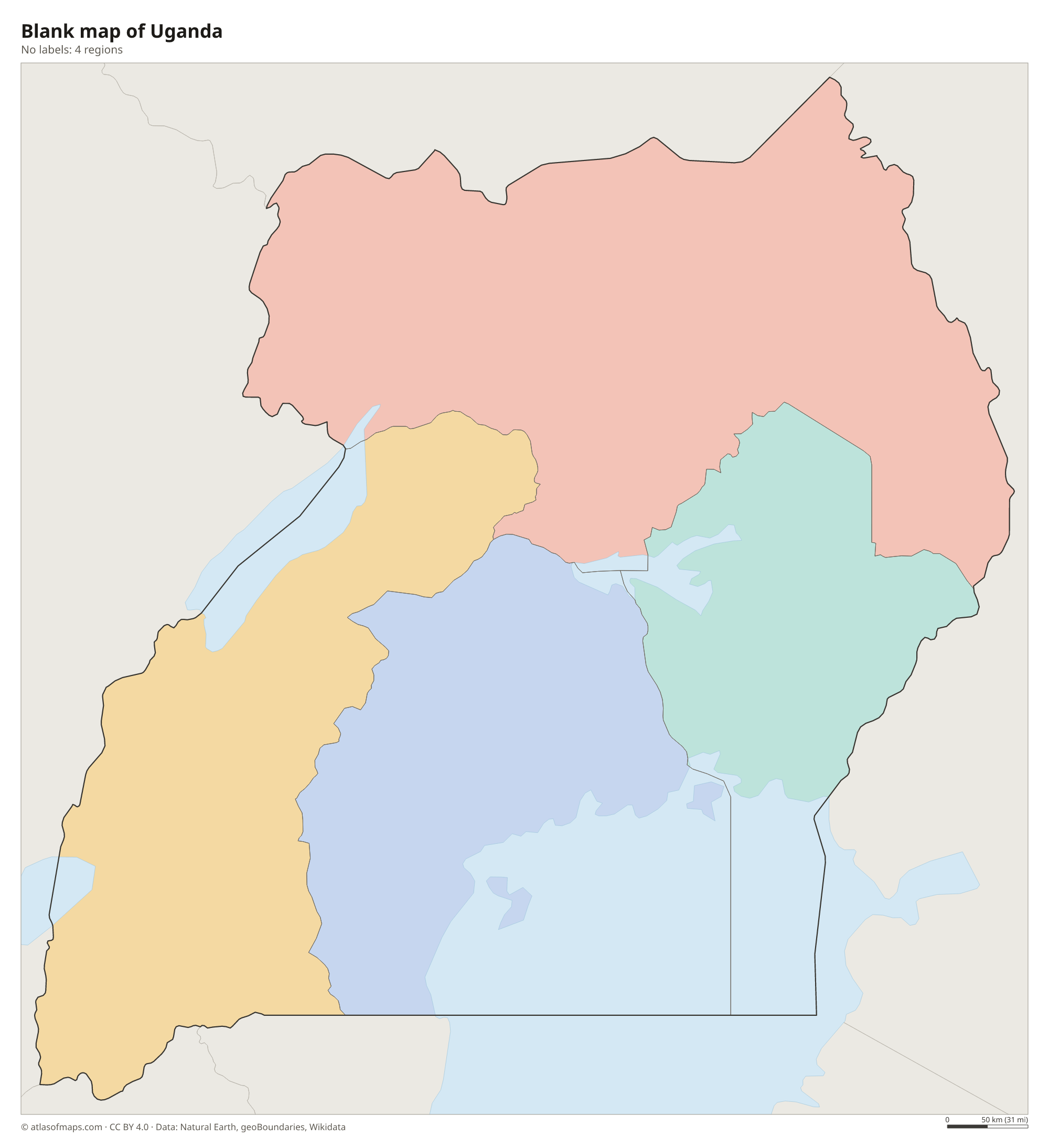
The map shows Uganda's 4 regions: Central, Eastern, Northern and Western. Each region is made up of many districts, which handle local government. The Central Region includes the northern shore of Lake Victoria and the capital, Kampala.
| Region | Capital | Population | Area |
|---|---|---|---|
| Central Region | Kampala | 12,969,646 | 61,403 km² (23,708 sq mi) |
| Eastern Region | — | 11,403,222 | 39,479 km² (15,243 sq mi) |
| Northern Region | Gulu City | 9,955,990 | 85,392 km² (32,970 sq mi) |
| Western Region | Mbarara City | 11,576,559 | 55,277 km² (21,343 sq mi) |
Population from Wikidata (latest figure available for each region).
Blank and coloring maps of Uganda
Blank map of Uganda

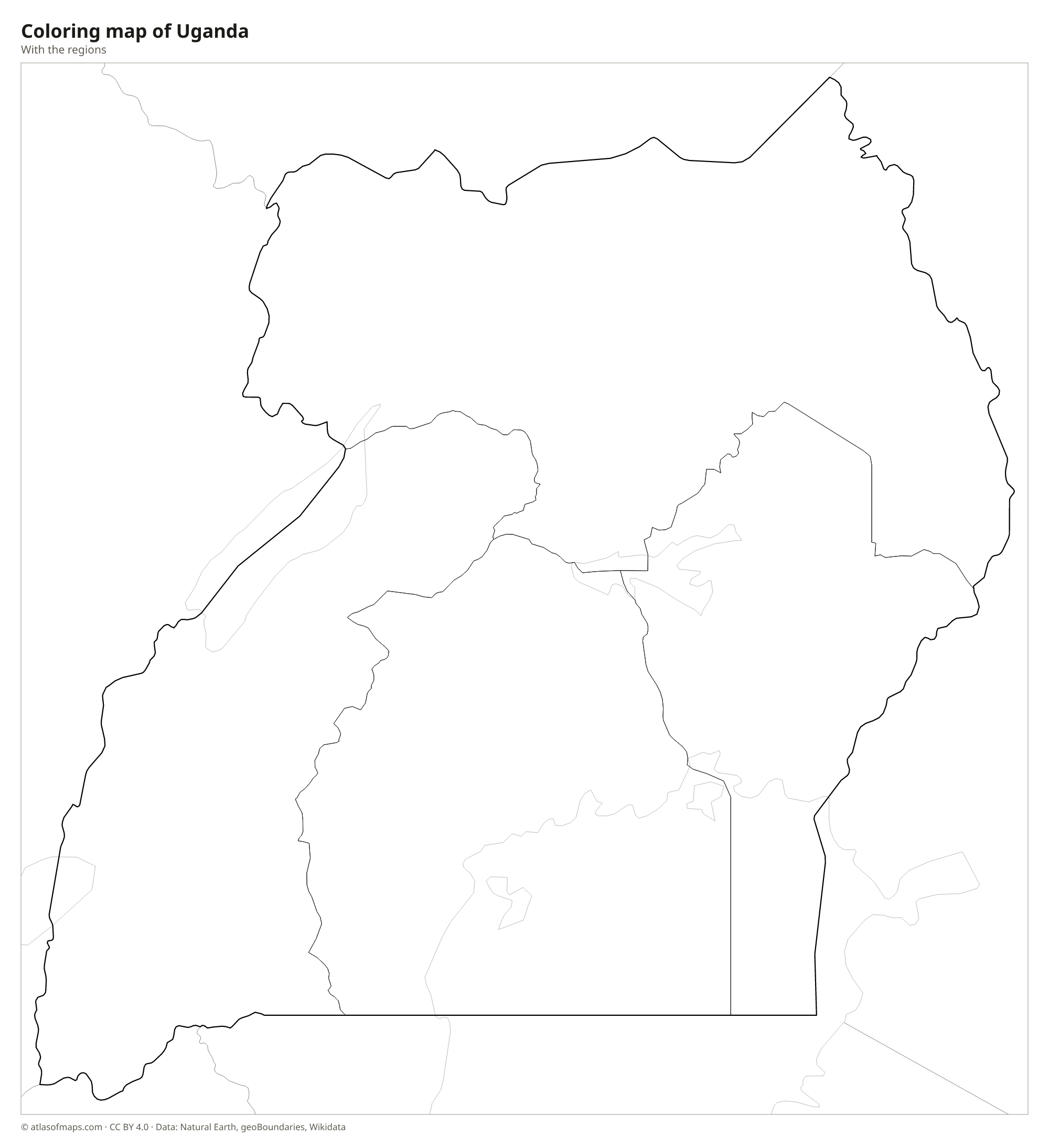
Coloring map of Uganda

Geography of Uganda
Uganda covers about 241,038 km² (93,065 sq mi), and much of it is a high plateau. Mountains rise along its borders. In the west, the Rwenzori Mountains on the border with the Democratic Republic of the Congo carry glaciers despite lying almost on the equator; Mount Stanley is the highest peak, at 5,109 m (16,762 ft). In the east, the huge extinct volcano Mount Elgon straddles the border with Kenya. The Albertine Rift, the western branch of the East African Rift, runs along the western border.
Water covers a large share of Uganda. Lake Victoria, Africa's largest lake, fills the southeast, and the Nile leaves it at Jinja as the Victoria Nile, then crosses Lake Kyoga and plunges through Murchison Falls into Lake Albert. Lakes Albert, Edward and George lie in the rift valley in the west. Because of its altitude, Uganda has a mild tropical climate rather than extreme heat, with two rainy seasons in much of the south and drier savanna in the northeast.
Fun facts
- The equator crosses southern Uganda, and roadside monuments mark the line.
- The Rwenzori Mountains are often identified with the Mountains of the Moon, which ancient Greek geographers described as the source of the Nile.
- Bwindi Impenetrable National Park in southwestern Uganda is home to about half of the world's mountain gorillas.
Flag of Uganda
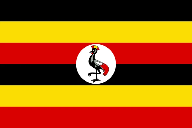
The flag of Uganda has six horizontal stripes of equal height: black, yellow, red, black, yellow and red. In the center is a white circle showing a gray crowned crane, the national bird, standing on one leg and facing the hoist.
Countries bordering Uganda
Frequently asked questions
What countries border Uganda?
Uganda borders five countries: South Sudan, Kenya, Tanzania, Rwanda and the Democratic Republic of the Congo. Part of the border with Kenya and Tanzania runs through Lake Victoria.
How many regions does Uganda have?
Uganda has 4 regions: Central, Eastern, Northern and Western. They are divided into many smaller districts, whose number has grown over the years as new ones were created.
Where does the Nile start in Uganda?
The Nile leaves Lake Victoria at Jinja, in southeastern Uganda, and begins its long journey north. This spot is widely known as the source of the Nile.
What is the capital of Uganda?
The capital of Uganda is Kampala.
What language is spoken in Uganda?
The official languages are English and Swahili.
Can I print the map of Uganda?
Yes. Every map on this page can be downloaded for free as PNG or PDF (US Letter) and printed, including the blank map and the coloring map. Please credit the source (Atlas of Maps, CC BY 4.0).
Use this map
You can download, print and share this map for free, in class, in school projects, in presentations and on websites, as long as you credit the source: Map of Uganda · Atlas of Maps (atlasofmaps.com), license CC BY 4.0.
See also: Map of Africa · World map