Map of the Central African Republic with regions and capitals
The Central African Republic is a landlocked country in the heart of Africa. It borders Chad to the north, Sudan to the northeast, South Sudan to the east, the Democratic Republic of the Congo and the Republic of the Congo to the south, and Cameroon to the west. The political map shows its 17 regions, the capital, Bangui, and major cities.

- Capital
- Bangui
- Population
- 5.2 million (2023)
- Area
- 622,984 km² (240,535 sq mi)
- Population density
- 8 per km² (21 per sq mi)
- Official languages
- French and Sango
- Currency
- Central African CFA franc
- Demonym
- Central African
- Regions
- 17
- Highest point
- Mont Ngaoui (1,410 m (4,626 ft))
- Calling code
- +236
- Internet domain
- .cf
Where is the Central African Republic?
The Central African Republic is a landlocked country in the heart of Africa. It borders Chad to the north, Sudan to the northeast, South Sudan to the east, the Democratic Republic of the Congo and the Republic of the Congo to the south, and Cameroon to the west.
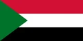
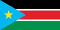
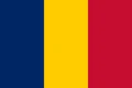
Neighboring countries: Cameroon, Democratic Republic of the Congo, Republic of the Congo, Sudan, South Sudan, Chad.

Regions of the Central African Republic and their capitals
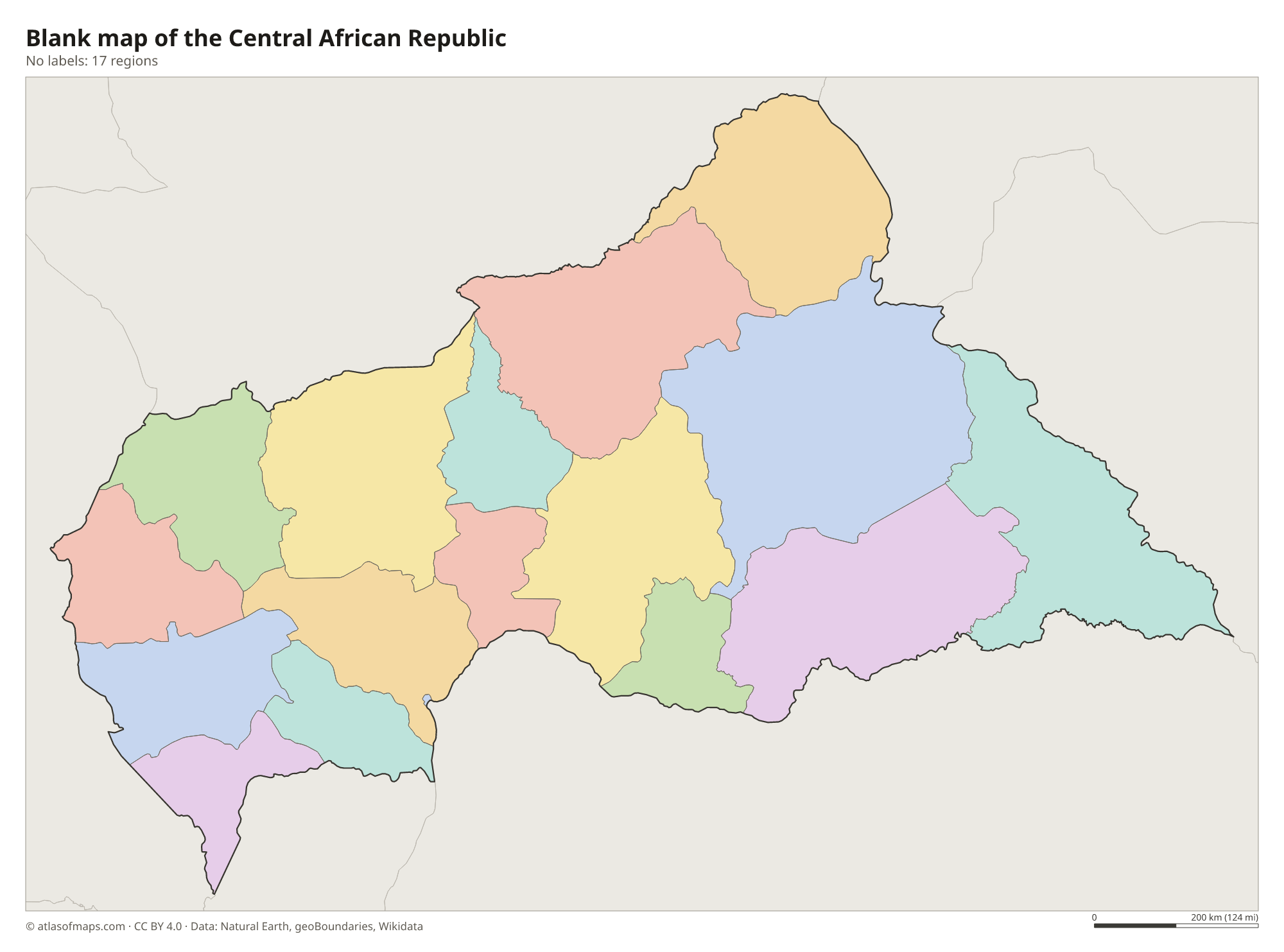
The map shows 17 divisions: 14 prefectures, 2 economic prefectures (Nana-Grébizi and Sangha-Mbaéré) and the capital, Bangui, which is a separate autonomous commune. Each prefecture is split into sub-prefectures, and newer prefectures created by a recent reform may not appear on the map.
| Region | Capital | Population | Area |
|---|---|---|---|
| Bamingui-Bangoran | N'Délé | 43,229 | 58,200 km² (22,471 sq mi) |
| Bangui | Bangui | 889,231 | 67 km² (26 sq mi) |
| Basse-Kotto | Mobaye | 249,150 | 17,604 km² (6,797 sq mi) |
| Haut-Mbomou | Obo | 57,602 | 55,530 km² (21,440 sq mi) |
| Haute-Kotto | Bria | 90,316 | 86,650 km² (33,456 sq mi) |
| Kémo | Sibut | 118,420 | 17,204 km² (6,643 sq mi) |
| Lobaye | Mbaïki | 246,875 | 19,235 km² (7,427 sq mi) |
| Mambéré-Kadéï | Berbérati | 364,795 | 30,203 km² (11,661 sq mi) |
| Mbomou | Bangassou | 164,009 | 61,150 km² (23,610 sq mi) |
| Nana-Grébizi Economic | Kaga-Bandoro | 117,816 | 19,996 km² (7,720 sq mi) |
| Nana-Mambéré | Bouar | 233,666 | 26,600 km² (10,270 sq mi) |
| Ombella-M'Poko | Bimbo | 356,725 | 31,835 km² (12,292 sq mi) |
| Ouaka | Bambari | 276,710 | 49,900 km² (19,266 sq mi) |
| Ouham | Bossangoa | 369,220 | 50,250 km² (19,402 sq mi) |
| Ouham-Pendé | Bozoum | 430,506 | 32,100 km² (12,394 sq mi) |
| Sangha-Mbaéré | Nola | 101,074 | 19,412 km² (7,495 sq mi) |
| Vakaga | Birao | 52,255 | 46,500 km² (17,954 sq mi) |
Population from Wikidata (latest figure available for each region).
Blank and coloring maps of the Central African Republic
Blank map of the Central African Republic

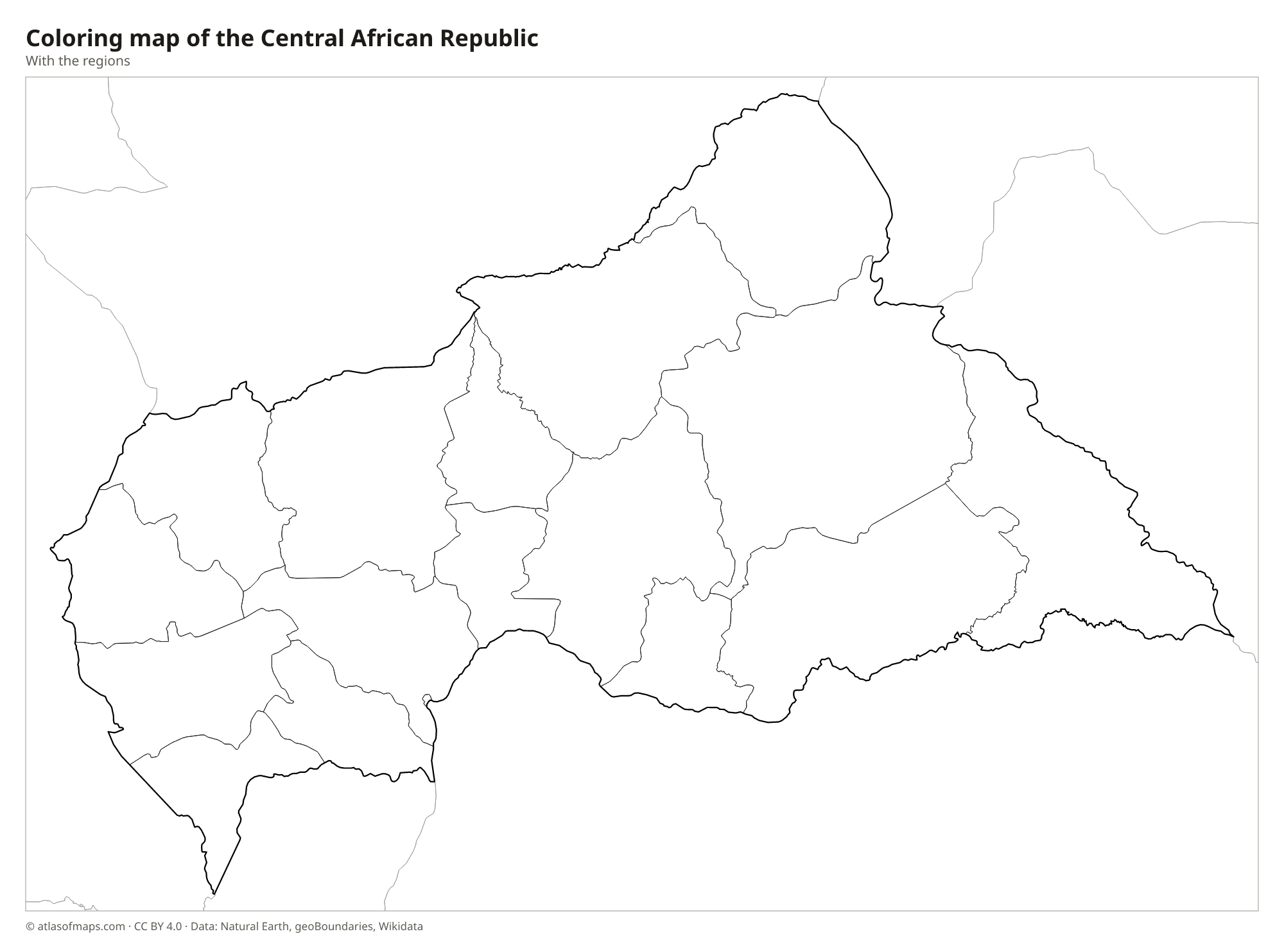
Coloring map of the Central African Republic

Geography of the Central African Republic
The Central African Republic covers 622,984 km² (240,535 sq mi), most of it a broad, rolling plateau. The plateau forms a divide between two great river basins: rivers in the south flow to the Congo, and those in the north flow toward Lake Chad. Higher ground rises at the edges, with the Bongo Massif in the northeast and the Yadé Massif in the northwest, where Mont Ngaoui reaches 1,410 m (4,626 ft) on the border with Cameroon. Savanna covers most of the land, with dense rainforest in the southwest.
The Ubangi River forms much of the southern border with the Democratic Republic of the Congo, and Bangui, the capital, stands on its bank. The Sangha drains the southwest, while the Chari and its tributaries flow north toward Lake Chad. The climate is tropical, with a long rainy season in the south and drier conditions in the north, toward the Sahel. In the southwest, Dzanga-Sangha protects rainforest with forest elephants and western lowland gorillas. About 5.2 million people (2023) live in the country.
Fun facts
- Under French rule, the territory was called Ubangi-Shari, after two of its main rivers.
- The Sangha Trinational, shared with Cameroon and the Republic of the Congo, is a UNESCO World Heritage Site that includes Dzanga-Sangha.
- The country lies close to the geographic center of Africa, which gave it its name.
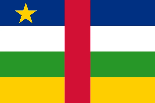
Flag of the Central African Republic
The flag of the Central African Republic has four equal horizontal bands of blue, white, green and yellow, crossed in the middle by a vertical red band. A yellow five-pointed star sits in the upper hoist corner, on the blue band.
Flag of the Central African Republic: meaning, colors and download →
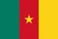
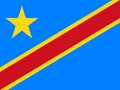
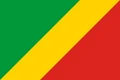
Countries bordering the Central African Republic
Frequently asked questions
What countries border the Central African Republic?
The Central African Republic borders six countries: Chad, Sudan, South Sudan, the Democratic Republic of the Congo, the Republic of the Congo and Cameroon. It has no coastline.
How many prefectures does the Central African Republic have?
The map shows 17 divisions: 14 prefectures, 2 economic prefectures and the separately governed capital, Bangui. A recent reform created additional prefectures that may not appear on the map.
What is the capital of the Central African Republic?
The capital is Bangui, in the far south on the Ubangi River, across from the Democratic Republic of the Congo. It is by far the largest city.
How many regions does the Central African Republic have?
The Central African Republic is divided into 17 regions: Bamingui-Bangoran, Bangui, Basse-Kotto, Haut-Mbomou, Haute-Kotto, Kémo, Lobaye, Mambéré-Kadéï, Mbomou, Nana-Grébizi Economic, Nana-Mambéré, Ombella-M'Poko, Ouaka, Ouham, Ouham-Pendé, Sangha-Mbaéré, and Vakaga.
What language is spoken in the Central African Republic?
The official languages are French and Sango.
Can I print the map of the Central African Republic?
Yes. Every map on this page can be downloaded for free as PNG or PDF (US Letter) and printed, including the blank map and the coloring map. Please credit the source (Atlas of Maps, CC BY 4.0).
Use this map
You can download, print and share this map for free, in class, in school projects, in presentations and on websites, as long as you credit the source: Map of the Central African Republic · Atlas of Maps (atlasofmaps.com), license CC BY 4.0.
See also: Map of Africa · World map