Map of South Sudan with states and capitals
South Sudan is a landlocked country in East-Central Africa. It borders Sudan to the north, Ethiopia to the east, Kenya and Uganda to the south, the Democratic Republic of the Congo to the southwest and the Central African Republic to the west. The political map shows its 10 states, the capital, Juba, and major cities.

- Capital
- Juba
- Population
- 12.6 million (2017)
- Area
- 644,329 km² (248,777 sq mi)
- Population density
- 20 per km² (51 per sq mi)
- Official language
- English
- Currency
- South Sudanese pound
- Demonym
- South Sudanese
- States
- 10
- Highest point
- Kinyeti (3,187 m (10,456 ft))
- Calling code
- +211
- Internet domain
- .ss
- Official name
- Republic of South Sudan
Where is South Sudan?
South Sudan is a landlocked country in East-Central Africa. It borders Sudan to the north, Ethiopia to the east, Kenya and Uganda to the south, the Democratic Republic of the Congo to the southwest and the Central African Republic to the west.
Neighboring countries: Central African Republic, Democratic Republic of the Congo, Ethiopia, Kenya, Sudan, Uganda.

States of South Sudan and their capitals
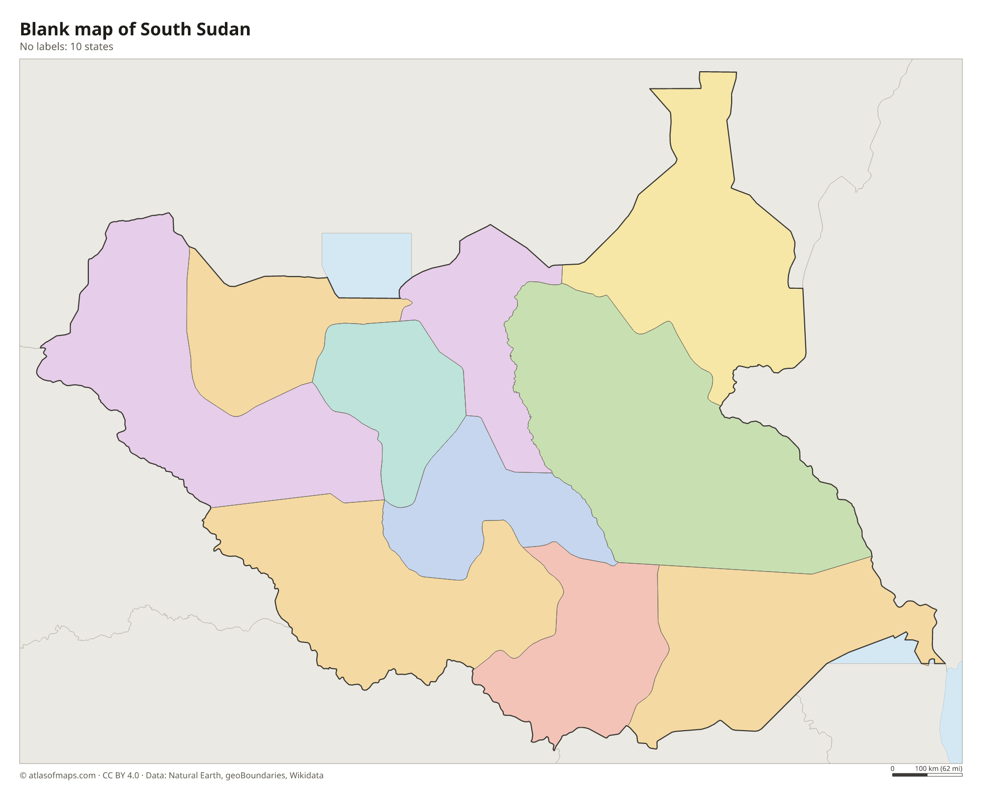
South Sudan is divided into 10 states, shown on the map, such as Central Equatoria, Jonglei and Upper Nile. There are also special administrative areas, and the Abyei Area on the northern border is claimed by both South Sudan and Sudan.
| State | Capital | Population | Area |
|---|---|---|---|
| Central Equatoria | Juba | 1,103,592 | 43,033 km² (16,615 sq mi) |
| Eastern Equatoria | Torit | 906,126 | 82,542 km² (31,870 sq mi) |
| Jonglei | Bor | 1,358,602 | 122,479 km² (47,289 sq mi) |
| Lakes | Rumbek | 695,730 | 43,595 km² (16,832 sq mi) |
| Northern Bahr el Ghazal | Aweil | 720,898 | 33,558 km² (12,957 sq mi) |
| Unity | Bentiu | 585,801 | 35,956 km² (13,883 sq mi) |
| Upper Nile | Malakal | 1,385,478 | 77,773 km² (30,028 sq mi) |
| Warrap | Kuajok | 972,928 | 31,027 km² (11,980 sq mi) |
| Western Bahr el Ghazal | Wau | 333,431 | 91,080 km² (35,166 sq mi) |
| Western Equatoria | Yambio | 619,029 | 79,343 km² (30,635 sq mi) |
Population from Wikidata (latest figure available for each state).
Blank and coloring maps of South Sudan
Blank map of South Sudan

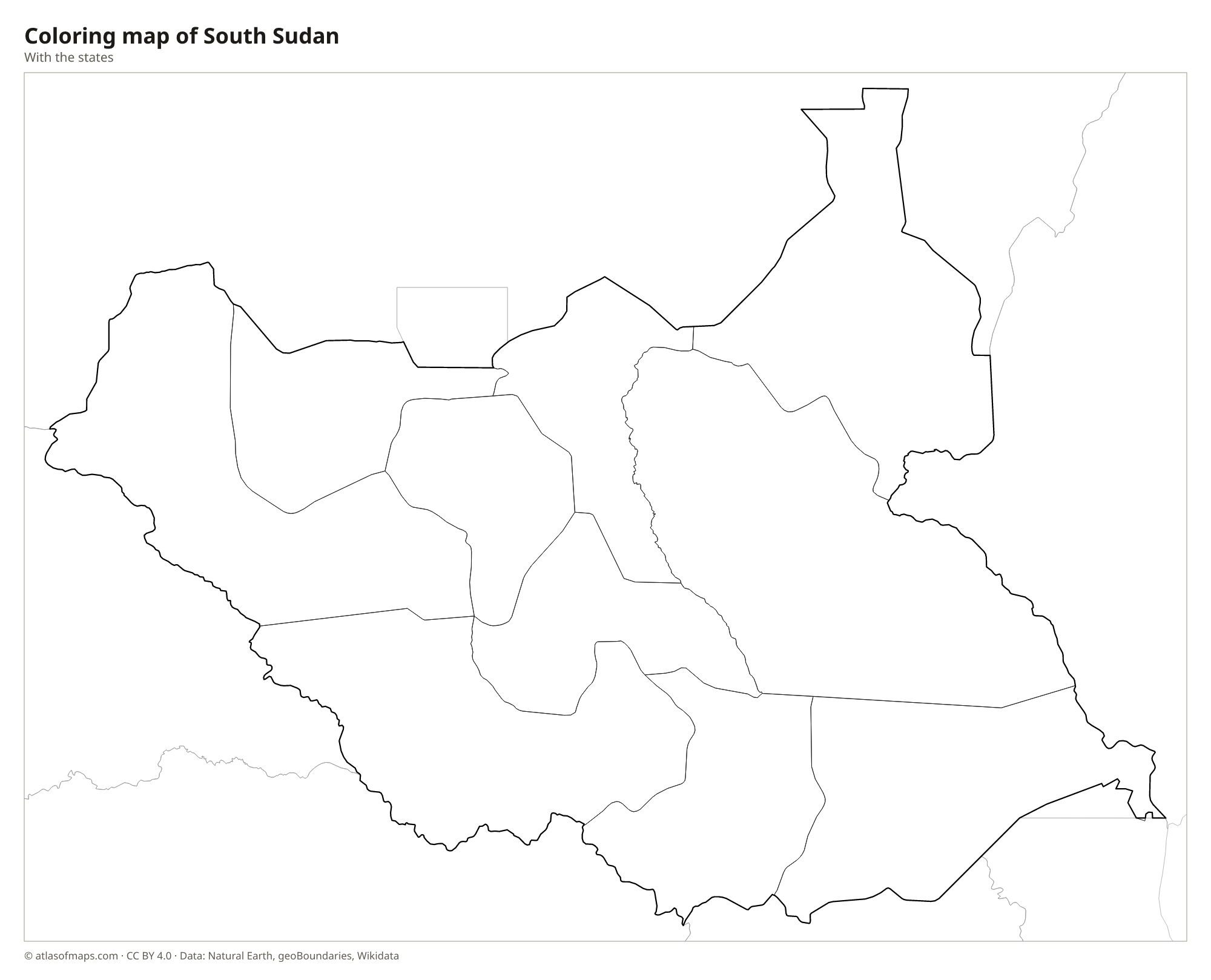
Coloring map of South Sudan

Geography of South Sudan
Most of South Sudan is a vast, low clay plain in the basin of the White Nile. In the center lies the Sudd, one of the largest wetlands in the world, a maze of swamps, papyrus and floating vegetation that swells enormously in the rainy season. The land rises toward the edges: an ironstone plateau in the southwest along the Congo-Nile watershed, and highlands in the south along the borders with Uganda and Kenya. The Imatong Mountains hold Kinyeti, the highest point at 3,187 m (10,456 ft).
The White Nile, called the Bahr al Jabal in its southern section, flows north from Uganda past Juba and through the Sudd. Tributaries such as the Bahr el Ghazal from the west and the Sobat from the east join it before it continues into Sudan. Savanna and woodland cover much of the country, and the Boma and Bandingilo areas see one of Africa's largest wildlife migrations, of antelopes such as the white-eared kob. The climate is hot, with a rainy season from about April to October and a long dry season.
Fun facts
- South Sudan became independent from Sudan in 2011, making it one of the newest countries in the world.
- The Sudd swamp was so vast and dense that it long blocked explorers trying to travel up the Nile to its source.
- Juba, the capital, lies on the White Nile in the far south of the country.
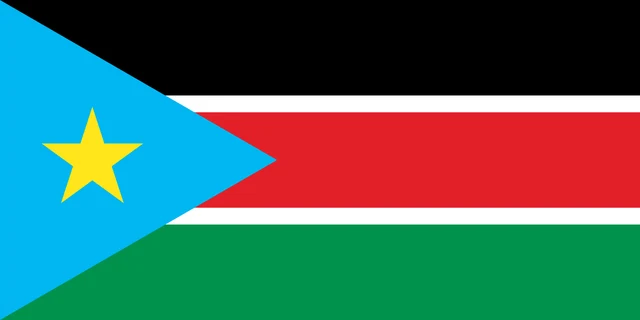
Flag of South Sudan
The flag of South Sudan has three horizontal stripes, black at the top, red in the middle and green at the bottom, with the red stripe separated from the others by thin white bands. At the hoist is a blue triangle holding a yellow five-pointed star.
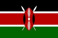
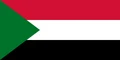
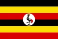
Countries bordering South Sudan
Frequently asked questions
What countries border South Sudan?
South Sudan borders six countries: Sudan, Ethiopia, Kenya, Uganda, the Democratic Republic of the Congo and the Central African Republic. It has no coastline.
How many states does South Sudan have?
South Sudan has 10 states, such as Central Equatoria, Jonglei and Upper Nile. It also has special administrative areas, including the disputed Abyei Area on the border with Sudan.
What is the capital of South Sudan?
The capital and largest city is Juba, on the White Nile in Central Equatoria state, in the south of the country near the border with Uganda.
What language is spoken in South Sudan?
The official language is English.
Can I print the map of South Sudan?
Yes. Every map on this page can be downloaded for free as PNG or PDF (US Letter) and printed, including the blank map and the coloring map. Please credit the source (Atlas of Maps, CC BY 4.0).
Use this map
You can download, print and share this map for free, in class, in school projects, in presentations and on websites, as long as you credit the source: Map of South Sudan · Atlas of Maps (atlasofmaps.com), license CC BY 4.0.
See also: Map of Africa · World map